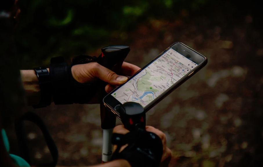
Mobile Signals:
- Internet Network: It is the pathway for online map data, usually through Wi-Fi or cellular providers. Keep in mind that many outdoor areas lack internet signal coverage. Therefore, relying on the internet in the wilderness is a common mistake. Download offline map data in advance to avoid getting lost without a pre-downloaded map. While some areas, especially mountain tops, may have internet or phone signals, it’s crucial to be prepared by downloading offline maps beforehand.
- GPS: In the outdoors, GPS signals from satellites are vital. They are used for tracking routes and, with satellite phones, for communication. However, GPS signals may be unstable or absent in areas with obstacles. Understand what signals you rely on outdoors. Urban dwellers often overlook these differences, leading to accidents. Learn how to seek help if lost, even using weak phone signals (send a text or share your location on messaging apps like WeChat) while heading towards a higher ground.
Maps:
- Vector Maps: Digitized maps with information like place names, rivers, roads, legends, contour lines, etc.
- Raster Maps: Image-format maps, such as satellite maps.
Map Types:
- Online Maps: Accessible with an internet connection, but offline maps should be prepared in advance.
- Offline Maps: Downloaded from online sources and stored on your device. Even without internet, cached online maps can be useful in emergencies.
Dimensionality:
- 2D Maps: Most map apps are two-dimensional, like 2Steps, SixtyFerrets, Locus, Orux, and Zentu.
- 3D Maps: Future trends point towards 3D maps. Google Earth, Fatmap, Gaia, and others simulate 3D from 2D.
Coordinate Systems:
Maps in China are subjected to offset due to national security regulations. Known as “Mars Coordinates GCJ-02,” these maps have artificially shifted coordinates.
Tracking and Navigation:
Use GPS tracking apps like NECC/Locus to record your trail. Navigation apps like 2Steps, Locus, or SixtyFerrets can guide you based on planned routes.
Elevation Data:
Fine-grained elevation data is crucial but often hard to obtain. Even excellent maps cannot represent terrain features below 50 meters or cliffs. Detailed elevation data supplements the map.
Coordinates:
Sending accurate coordinates is life-saving. In China, due to secrecy concerns, some maps undergo offsets, making sent coordinates potentially inaccurate. Practice sending precise coordinates, as being off by a few hundred meters could impact rescue efforts.
Understanding these aspects is essential for outdoor enthusiasts to navigate safely and enjoy their adventures responsibly.

